
High-Elevation Forest Community
Listings in Arrowbear, CA
Welcome to Arrowbear Lake, a small San Bernardino Mountains community along Highway 18, near Snow Valley and the forests of the national forest.
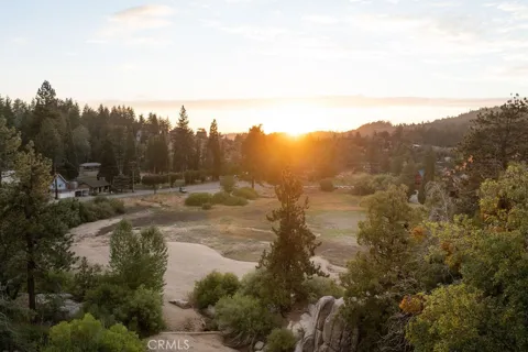
Arrowbear Lake is a small, unincorporated community in San Bernardino County, California, set at roughly 6,086 feet elevation in the San Bernardino Mountains within the San Bernardino National Forest. It lies along Highway 18, the Rim of the World Highway, east of Running Springs and partway between Lake Arrowhead and the Big Bear Valley. The community counts only a few hundred residents, giving it an intimate, forested character distinct from the larger resort towns along the corridor. The area was developed beginning in 1924, and it grew most substantially after World War II, when improved access along the Rim of the World Highway encouraged a wave of cabin construction. That legacy remains visible in the community's mix of modest mountain cabins and homes tucked among pines, many functioning as weekend and vacation retreats. A small high-elevation lake at the community's center is stocked with rainbow trout and anchors local recreation. Arrowbear Lake is best known regionally as one of the mountain communities closest to Snow Valley, the nearest ski resort, making it a convenient base for winter sports. In warmer months, the surrounding national forest provides hiking, mountain biking, and camping, while Lake Arrowhead and Big Bear Lake are short drives away. The community's identity is tied closely to the seasons and to its small-town mountain calendar, which includes an annual fishing derby, a Fourth of July celebration, and softball games at Tucker Field. Students attend the Rim of the World Unified School District, which serves the mountain communities of the region. For residents and second-home owners alike, Arrowbear Lake offers a quieter, woodsier alternative within one of Southern California's most popular mountain recreation areas.
Get more information about Arrowbear
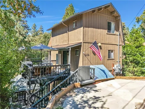
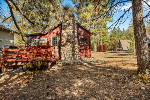
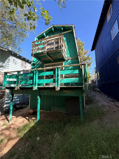
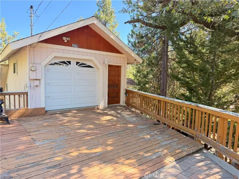
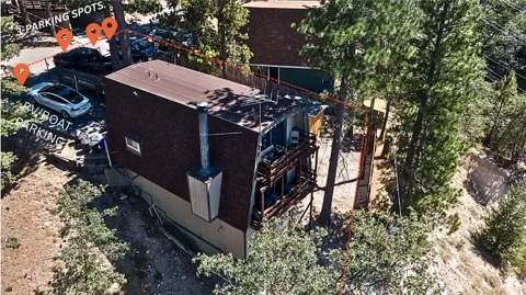
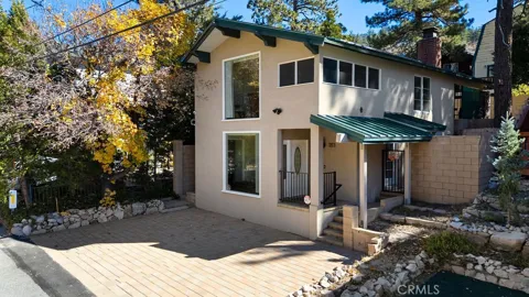
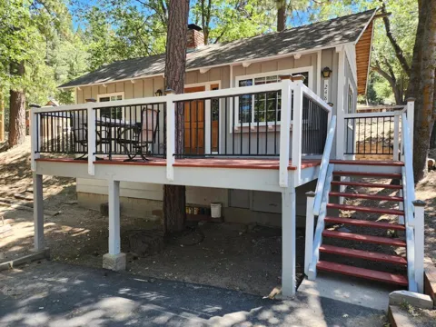
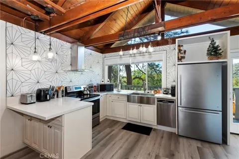
Houses in Arrowbear, CA
Lots & Land in Arrowbear, CA
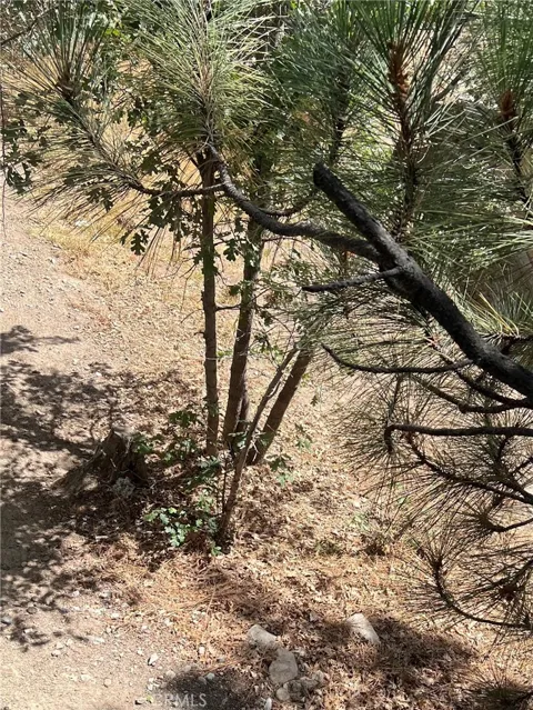
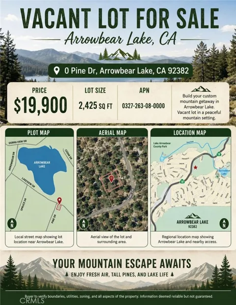
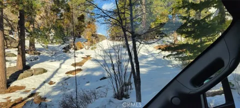
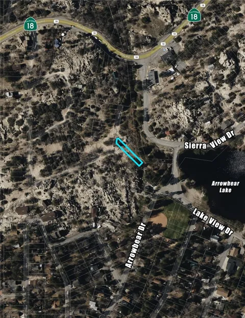
MARKET SNAPSHOT
The Market at a Glance
How homes have been selling here over the last 90 days.
Price & Sales History
Market data reflects closed sales over the last 90 days and is provided for informational purposes.
Zip Codes
BROWSE BY ZIP
Browse listings by postal code in this area.
- Grid
- Map
- List
City Guide
About Arrowbear
Real Estate & Housing
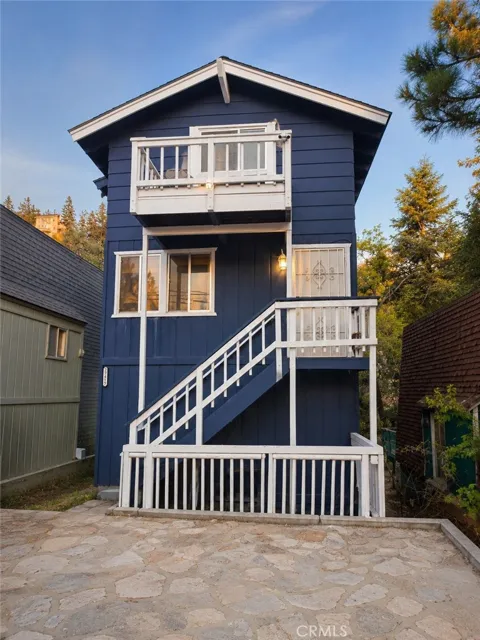
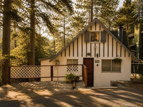
Arrowbear Lake's housing is defined by its mountain setting and cabin heritage. The community holds a mix of modest cabins and single-family homes set among pines and sloping lots, many dating from the post-World War II building boom that followed the opening of the Rim of the World Highway. Properties tend to be compact, with a substantial share serving as vacation homes and short-term rentals. The forested, small-scale character distinguishes Arrowbear from the larger developments around Lake Arrowhead and Big Bear. Buyers are typically drawn by winter access to Snow Valley, summer access to the forest, and the relative quiet of a small high-elevation community.
Neighborhoods
Arrowbear Lake is a single, small community rather than a set of distinct neighborhoods. It occupies a short stretch of Highway 18 between Running Springs to the west and the Big Bear Valley to the east, with homes and cabins climbing the forested slopes around its namesake lake. Running Springs provides the nearest full-service commercial center, while Lake Arrowhead and Big Bear Lake anchor the larger mountain resort region on either side. The community's compact scale and forest cover mean its identity comes from the lake and the surrounding woodland more than from any internal subdivision structure.
Lifestyle in Arrowbear
Life in Arrowbear Lake revolves around the mountain seasons. Winter brings skiing and snowboarding at nearby Snow Valley, one of the closest resorts to the community, along with the snow play and quiet of a forest blanketed in white. Spring and summer turn the focus to the stocked fishing lake, hiking and mountain biking in the San Bernardino National Forest, and the community's fishing derby and Fourth of July celebration. The pace is unhurried, and the community mixes year-round residents with weekend cabin owners. Daily services are a short drive away in Running Springs, while Lake Arrowhead and Big Bear offer dining, shopping, and larger events within easy reach.
Schools & Education
Arrowbear Lake is served by the Rim of the World Unified School District, which provides public education for the San Bernardino mountain communities, including Lake Arrowhead, Running Springs, and the surrounding area. The district, headquartered in nearby Blue Jay, operates a small number of elementary schools, a middle school, and Rim of the World High School. Because the mountain region is served by this single unified district, Arrowbear students attend schools a short drive away along the Highway 18 corridor. The district's small, community-oriented structure reflects the dispersed, seasonal population of the San Bernardino Mountains.
Getting Around
Arrowbear Lake is reached by Highway 18, the Rim of the World Highway, which runs along the mountain crest and connects the community to Running Springs, Lake Arrowhead, and the Big Bear Valley. Access from the valleys below comes by way of State Route 330 from the San Bernardino and Redlands area, rising to meet Highway 18 at Running Springs. Winter travel along these mountain routes requires chains during and after storms. The community is car-dependent, with Highway 18 serving as the essential corridor for commuting, school runs, and recreation trips throughout the San Bernardino Mountains.
Parks & Recreation
Arrowbear Lake is positioned for year-round mountain recreation. The community's namesake lake offers fishing for stocked rainbow trout, while Snow Valley, among the nearest ski resorts in Southern California, provides downhill skiing and snowboarding a short drive away. The surrounding San Bernardino National Forest opens onto hiking and mountain-biking trails and camping, and both Lake Arrowhead and Big Bear Lake are within easy reach for boating, lakefront dining, and larger events. The community's own calendar — a spring fishing derby, a Fourth of July celebration, and softball at Tucker Field — adds a local, small-town layer to the region's broader outdoor offerings.
About Arrowbear
Frequently asked questions
Where is Arrowbear Lake located?
Arrowbear Lake is an unincorporated community in San Bernardino County, California, at about 6,086 feet elevation in the San Bernardino Mountains. It lies along Highway 18, the Rim of the World Highway, east of Running Springs and between Lake Arrowhead and the Big Bear Valley.
What is Arrowbear Lake known for?
Arrowbear Lake is known as one of the mountain communities closest to Snow Valley ski resort, making it a convenient base for winter sports. The community also centers on a small high-elevation lake stocked with rainbow trout and offers easy access to the San Bernardino National Forest.
What school district serves Arrowbear Lake?
Arrowbear Lake is served by the Rim of the World Unified School District, which educates the San Bernardino mountain communities, including Lake Arrowhead and Running Springs. The district operates elementary schools, a middle school, and Rim of the World High School.
Is Arrowbear Lake a city?
No. Arrowbear Lake is an unincorporated community within San Bernardino County and the San Bernardino National Forest. It is governed by the county rather than by its own municipal government, and it has a small year-round population with many vacation cabins.
Still have questions about Arrowbear?
Get in touchExplore the area
