
Mojave Desert Railroad Community
Listings in Cantil, CA
Welcome to Cantil, a small Kern County community in the Mojave Desert along State Route 14, gateway to Red Rock Canyon State Park.
Cantil is an unincorporated community in Kern County, California, set in the Mojave Desert along State Route 14 between the town of Mojave and Red Rock Canyon. It sits at an elevation of about 2,000 feet, roughly six miles southwest of the salt-flat settlement of Saltdale, in a landscape of open desert and dramatic rock formations. The community was founded around 1908 or 1909 as a station on the Nevada and California Railroad, part of a series of stations along a line extended from Owens Lake to Mojave. Its name comes from the Spanish word for "steep rock," a fitting description of the rugged terrain. The line later became part of the Southern Pacific's Lone Pine, or "Jawbone," branch, built in part to carry workers and supplies during construction of the Los Angeles Aqueduct. Cantil remains a small, sparsely settled desert community. Its best-known neighbor is Red Rock Canyon State Park, a roughly 27,000-acre preserve of colorful cliffs, buttes, and rock formations where the southernmost Sierra Nevada meets the El Paso Range. The park is a destination for hiking, scenic drives, photography, and film production. The community is served by Red Rock Elementary School and Red Rock Community Day School, which serve students in this remote corner of eastern Kern County. State Route 14 links Cantil to Mojave and the Antelope Valley, and onward toward the Los Angeles region, while the surrounding desert offers wide-open space and dark night skies far from urban development. Cantil's identity is tied closely to the railroad and the desert. The sparse landscape and long sightlines define daily life here, where homes and ranches are scattered across large parcels rather than clustered in a traditional town center. Services are limited, and residents typically travel to Mojave, California City, or the Antelope Valley for shopping and daily needs. For travelers, Cantil serves as the turnoff point for Red Rock Canyon State Park, a stop on State Route 14 between the high desert communities and the Los Angeles Basin. Its location makes it a quiet, remote foothold in one of California's most striking desert settings.
Get more information about Cantil
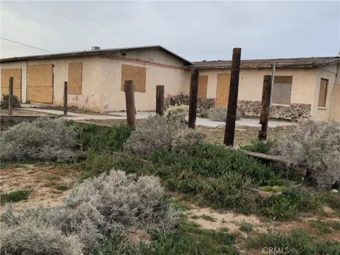
Houses in Cantil, CA
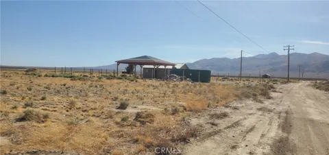
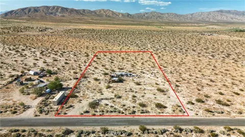
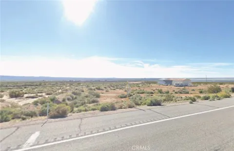
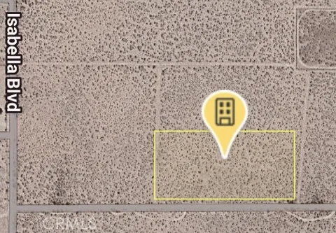
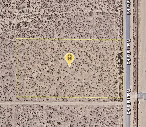
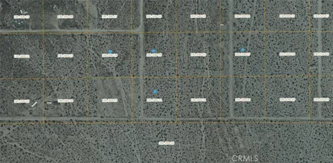
Lots & Land in Cantil, CA
MARKET SNAPSHOT
The Market at a Glance
How homes have been selling here over the last 90 days.
Price & Sales History
Market data reflects closed sales over the last 90 days and is provided for informational purposes.
Zip Codes
BROWSE BY ZIP
Browse listings by postal code in this area.
City Guide
About Cantil
Real Estate & Housing
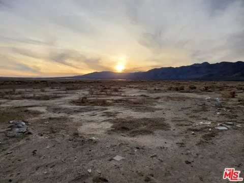
Cantil's housing character reflects its sparse, high-desert setting. Homes and ranches sit on large parcels scattered across open desert rather than on a conventional street grid, and the community's small, unincorporated nature keeps development limited and spread out. The wide-open landscape, distant mountain views, and dark skies define the setting more than any subdivision pattern, appealing to those seeking space and seclusion in the Mojave Desert.
Neighborhoods
Lifestyle in Cantil
Schools & Education
Cantil is home to Red Rock Elementary School and Red Rock Community Day School, which serve students in this remote portion of eastern Kern County, including those who benefit from alternative placements outside the regular school system. The two schools reflect the small, rural character of the desert communities along State Route 14. Because of the community's small population, secondary students travel to larger schools elsewhere in Kern County or the Antelope Valley region.
Getting Around
Cantil sits along State Route 14, which connects the community to Mojave, the Antelope Valley, and the wider Southern California highway network, and provides the main route to Red Rock Canyon State Park. The community began as a railroad station, and its rail heritage remains part of its identity, though the highway now carries most travel through this stretch of the Mojave Desert.
Parks & Recreation
Red Rock Canyon State Park is the centerpiece of recreation near Cantil, offering roughly 27,000 acres of colorful cliffs, buttes, and rock formations for hiking, scenic drives, photography, and film production. Located where the southernmost Sierra Nevada meets the El Paso Range, the park is a striking desert destination within a short drive of the community, drawing visitors from across Southern California.
About Cantil
Frequently asked questions
What county is Cantil in?
Cantil is an unincorporated community in Kern County, California, in the Mojave Desert along State Route 14 between the town of Mojave and Red Rock Canyon, at an elevation of about 2,000 feet.
What is Cantil known for?
Cantil is best known as the gateway to Red Rock Canyon State Park, a roughly 27,000-acre preserve of colorful cliffs, buttes, and rock formations where the southernmost Sierra Nevada meets the El Paso Range.
How did Cantil get its name?
Cantil takes its name from the Spanish word for 'steep rock.' The community was founded around 1908 or 1909 as a station on the Nevada and California Railroad line extended from Owens Lake to Mojave.
What highway runs through Cantil?
State Route 14 runs through Cantil, connecting it to Mojave, the Antelope Valley, and the wider Southern California highway network, and linking travelers to the entrance of Red Rock Canyon State Park to the north.
Still have questions about Cantil?
Get in touchExplore the area
